Original Antique Prints & Historic Maps

Original Antique Prints & Historic Maps

Home   Antique Prints   Antique Maps   About   Contact Us

Original Antique Prints & Maps

Authentic engravings, historic views, maps &  cartography
from the 17th, 18th & 19th Century
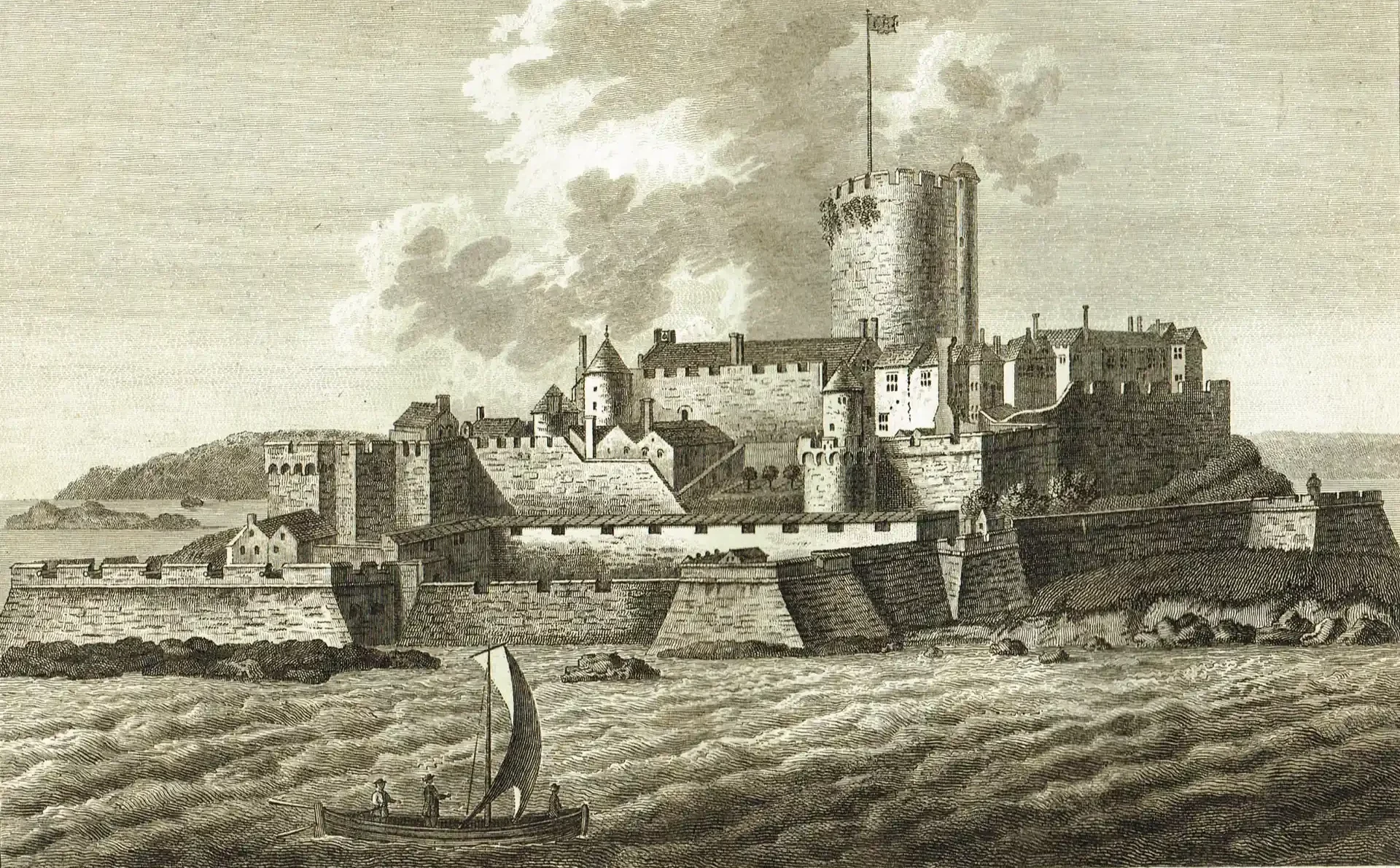
Historic antique print of Castle Cornet, Guernsey, viewed from the sea, showing the fortress, defensive walls and a sailing boat. Printed on 25th June 1777 from a copperplate engraving